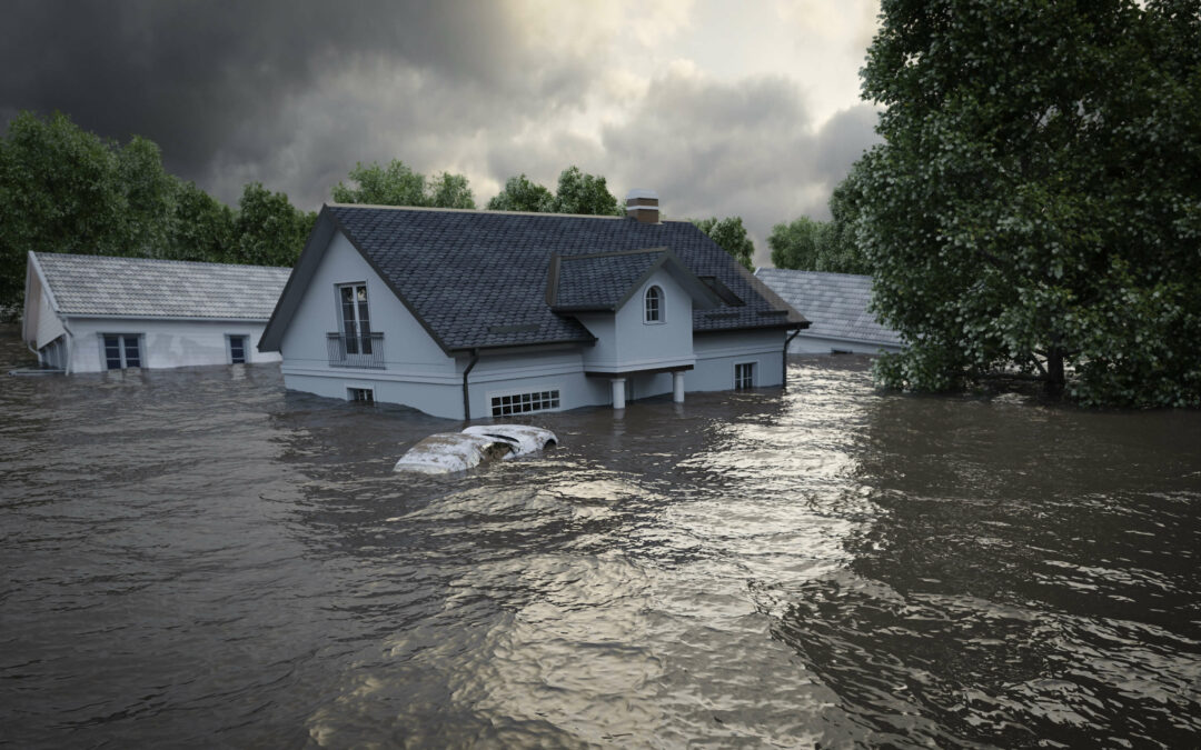
A new flood risk scoring tool to help insurers accurately price P&C policies
Floods are among the nation’s most destructive natural disasters for insurance carriers. Despite advances in flood mitigation techniques, floods are responsible for approximately $8 billion in damages per year.
FEMA offers fragmented and outdated flood zone maps that are failing to keep up with changes in climate trends, rising sea levels and inland river flooding. Because FEMA maps only cover about 60% of the US, many insurers are turning to next-generation flood models that incorporate robust weather and topographical data for more accurate underwriting insights.
- Learn why inland river flooding is becoming increasingly severe.
- Learn why FEMA maps are fragmented and out of date.
- See how GaugeFlood software provides 100% inland flood risk coverage
- See a full list of geospatial, topographic and flood risk data available to help insurers accurately price P&C policies.
Complete this form to download your free whitepaper:
Having trouble with the download? Please email us directly and we will send you a pdf copy.

